Keyword
Well discharge tests
Type of resources
Topics
Keywords
Contact for the resource
Provided by
Years
Formats
Representation types
Update frequencies
Scale
From
1
-
1
/
1
-

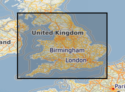
This layer of the Map based index (GeoIndex) shows where water wells exist with data available on transmissivity, storativity and discharge/drawdown. These parameters indicate the physical characteristics of the aquifer which can relate to factors such as possible storage capacities or rate of movement of water through the rock.
 NERC Data Catalogue Service